





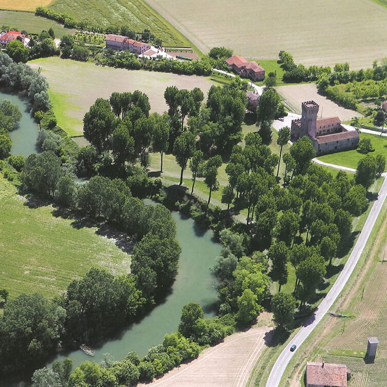
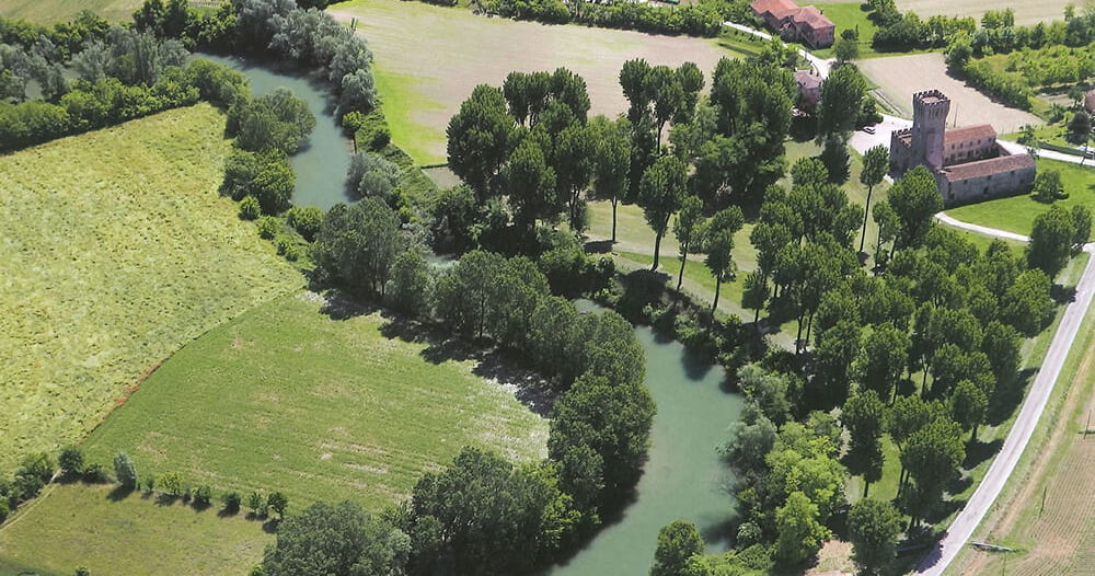
The system of waterways that shaped the Paduan territory and influenced settlements, defenses, and economic activities.
Listen to the audio
Among the earliest representations of the hydrography of the Paduan territory is a large territorial map from the 15th century, drawn on parchment and preserved at the Civic Library of Padua. The work has been attributed to the hand or workshop of the Paduan painter Francesco Squarcione, although the absence of a signature and the partly obscure history of the artifact do not allow for a definitive attribution. Nevertheless, the map represents a cartographic document of extraordinary importance, capable of providing a detailed and coherent image of the defensive and hydraulic organization of the territory.
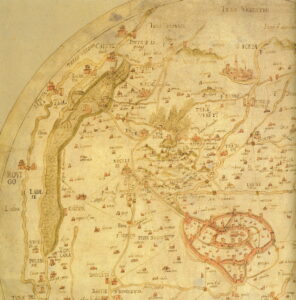
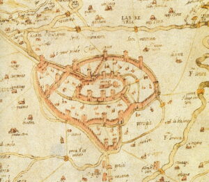
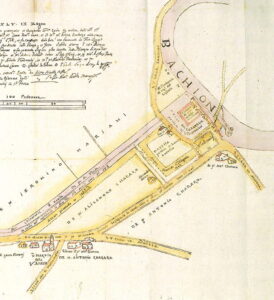
The map accurately depicts the city’s walls, towers, gates, and bridges, together with a dense network of fortified centers distributed even beyond the traditional geographical boundaries. Walled cities, castles, towers, and bastions are represented according to recognizable types, while along the defensive walls and near the villages appears the complex hydrographic system that structured the economic and military life of the region.
Particular attention is given to the course of the Bacchiglione River, represented with its main channel and the numerous branches upstream and around the Euganean Hills. The Padua–Monselice canal is highlighted, with the intricate network of waterways south of Battaglia, as well as the connections with the Brenta River through the Brentella and Piovego canals.
The hydraulic system of Padua appears as an articulated network both inside and outside the city walls, marked by a large loop in the northern area, probably corresponding to the final stretch of the Storta channel, which was cut in 1314 with the excavation of the Brentella canal. The map is not merely a geographical description but a true political and military instrument: it belongs to the cartographic production of the mid-15th century linked to the Venetian government’s need to know the defensive system of the mainland territories with precision.
Confirming this operational function are the list of distances between the capital and the surrounding localities and the spectacular miniature of the lagoon capital, Venice, set within the expanse of water into which numerous rivers flow. The orientation of north to the right, rather than at the top, further enhances the striking visual representation of the lagoon and the river system converging into it.
Venice, drawn along the lower margin at a larger scale than Padua, appears to float within a vast water basin occupying the entire parchment sheet. The image conveys the perception of a territory governed by a delicate hydraulic balance, crossed by a dense network of waterways that represented at the same time a vital resource, a transport infrastructure, and a strategic defensive element.
Discover the archaeological collection from the Bacchiglione River
Cookie policy
Su questo sito utilizziamo strumenti propri o di terze parti che memorizzano piccoli file (cookie) sul tuo dispositivo. I cookie sono normalmente utilizzati per consentire il corretto funzionamento del sito (cookie tecnici), per generare rapporti sull’uso della navigazione (cookie statistici) e per pubblicizzare in modo adeguato i nostri servizi/prodotti (cookie di profilazione). Possiamo utilizzare direttamente i cookie tecnici, ma hai il diritto di scegliere se abilitare o meno i cookie statistici e di profilazione. Abilitando questi cookie, ci aiuti a offrirti un’esperienza migliore.